Everything You Need to Know About – The La Cloche Silhouette Trail

Killarney’s La Cloche trail is an apparent 78km loop through the parks rugged interior that comprises beautiful lakes, rugged quartzite mountains, and serene mixed woods. The reason I say apparent is because when I tracked it with my Fitbit I got a total of 86km.
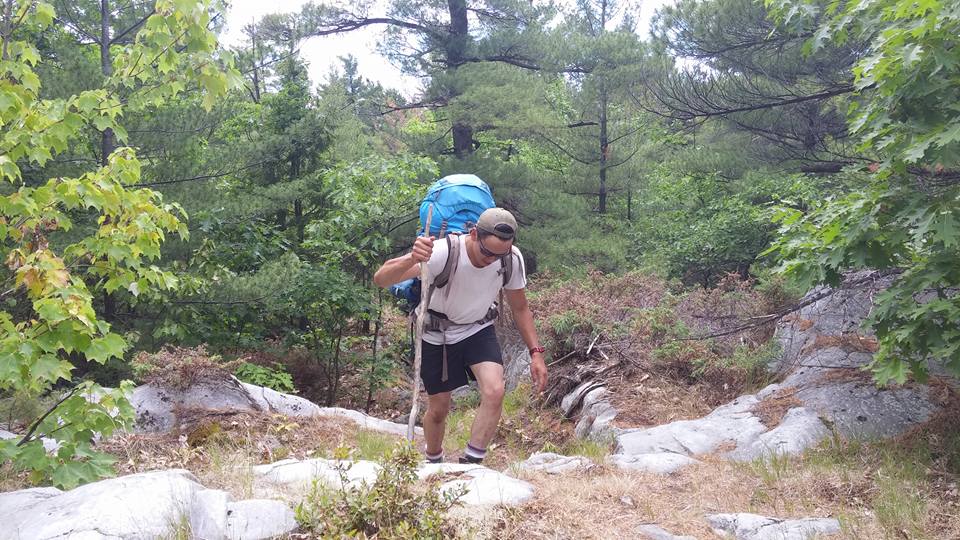
After having completed the La Cloche trail in 4-days, my first recommendation… TAKE YOUR TIME. Yes, if we’re an example it is possible to complete the loop in 4 days or even less, but it’s a serious challenge and commitment – and honestly, it’s nice to stop and smell the flowers. To give you an example here’s the breakdown of each day.
| Day 1 | Day 2 | Day 3 | Day 4 |
| 36,000 steps
4,717 Calories 8:20:56 26km |
27,000 steps
3,895 Calories 7:18:22 22km |
32,000 steps
4,282 calories 8:36:17 24km |
9,000 steps
2,280 calories 3:28:54 14km |
That’s a fairly serious undertaking! So, if you’ve got the time, give yourself the time.
La Cloche in 4-days
Although I don’t recommend trying to do this trail quick, if you’re strapped for time (as we were) 4-days is possible and this was our route.
1st: H37 Silver Lake – Beautiful spot, better than H38, which has steep water access
2nd: H31 Shigaug Lake – Unbelievable water, and nice open pine forest, awesome site
3rd: H16 Three Narrows – Beautiful site, very private, great view
4th: Out!
Which Route to Take?
Since you only have 2 options it’s a relatively simple decision.
- Take the trail clockwise – Benefits of this are that it’s technically easier than the latter half of the trail. Thus, your pack grows lighter as your reach the more demanding parts of the trail.
- Take the trail counter-clockwise – Benefits of this are that while you’re fresh and rested you tackle the most difficult section right from the get go. With the mentality that it’s only easier from here!
My Opinion: Option B. In my hiking experience, which includes the Annapurna Circuit in Nepal, BC’s West Coast Trail, and a few other goodies, it’s always best to tackle the most difficult stuff first and as your body tires and grows sore, the trail becomes just a little bit easier. I’ve found this the most conducive to an enjoyable experience.
What to Expect?
Now, since my experience is a 4-day trek I’ll break this down into sections so that whatever time you’ve allotted to your hike will work with this. Keep in mind this is going counter-clockwise.
Section 1 (8-10km)
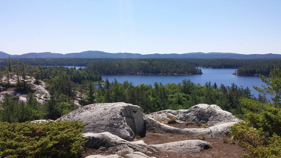
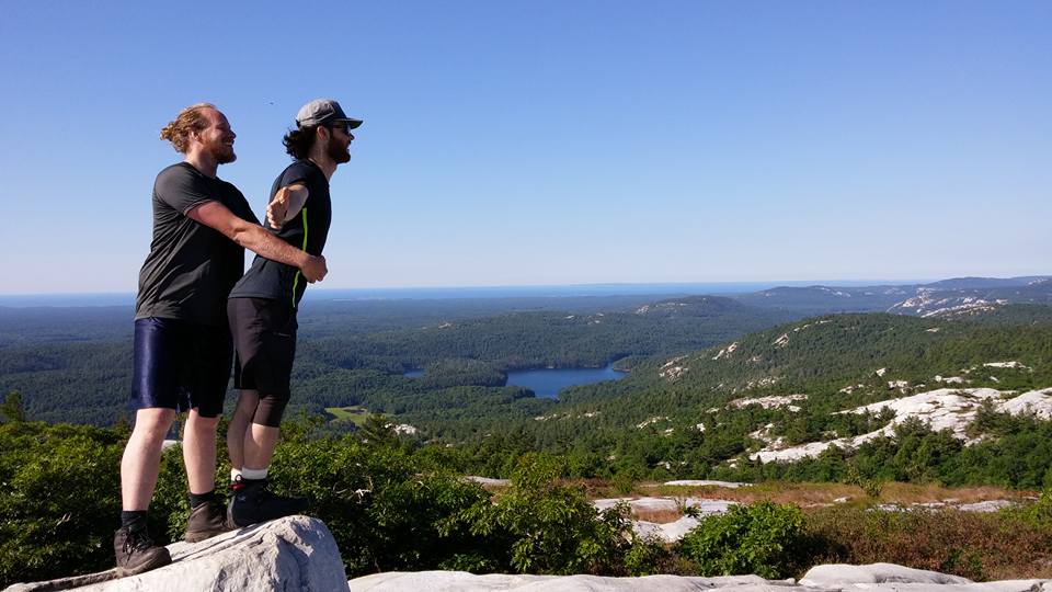
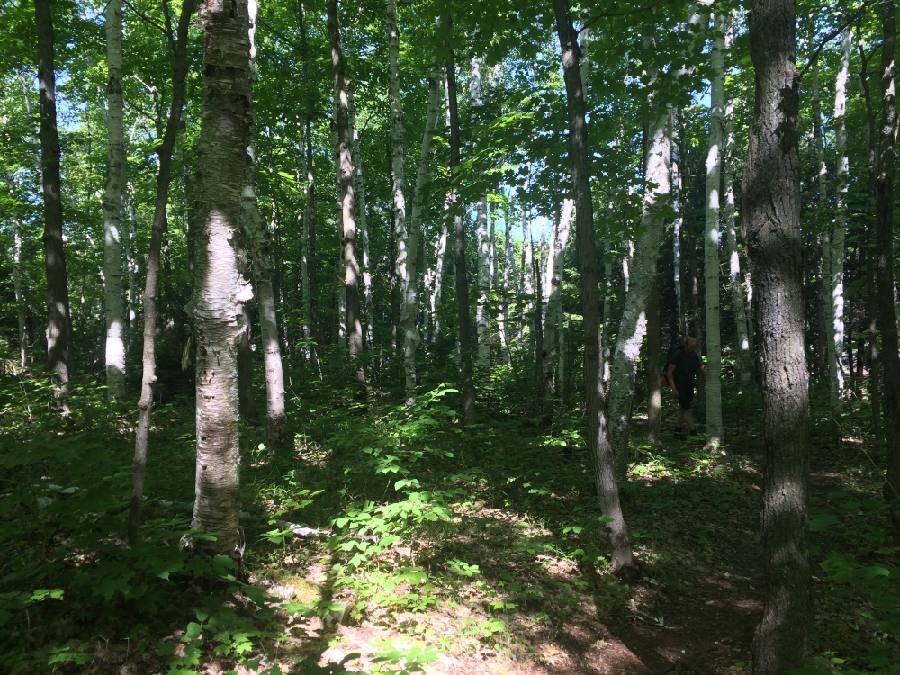
Known as the Killarney Ridge, this 8-10km section starts with a bang. This trail varies from rocky outcrops to red/white pine woods, to lush deciduous forests. This section features “The Crack”, which is a large chasm that hikers must climb (or descend) navigating the large boulders and pre-Cambrian rock. Although this will get you sweating very quickly, the view at the top is absolutely stunning and worth every step.
Section 2 (15-17km)
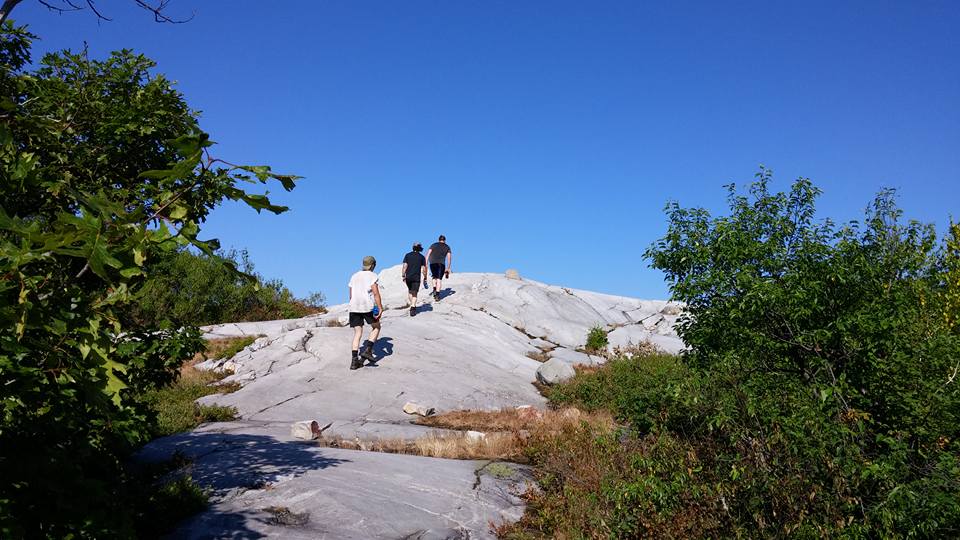
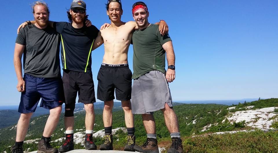
Known as Silver Peaks, this 15-17km section take your through some beautiful old wood forest with massive white pines. There is definitely quite a bit of elevation gain and loss, but there are some beautiful flat sections as well. You’ll laugh, you’ll sweat, and you’ll feel every muscle deserving their nights rest. In my opinion this is some of the most rewarding parts of the hike. Walking across the top of the quartzite with two feet and a heartbeat, the wind in your hair, surrounded by beautiful views is tough to beat.
You also have the option to climb Silver Peak. Honestly, if you’re going to hike the trail you pretty much HAVE to climb Silver Peak. It’s worth every step, I promise. Leave your rucksacks behind the massive fallen tree at the base and hike on up. Round trip will take anywhere from 1.5 – 3 hours depending on your pace and time at the summit.
Section 3 (15-16km)
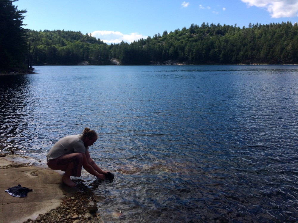
Known as Hansen Township, this 15-16km section full of ups, downs, lefts, rights, and every which way. It seems any headway to gain in elevation is thwarted by a quick descent, which then leads to another ascent. It’s fairly consistently difficult, but you’ll be rewarding by constant gorgeous scenery. The white pre-Cambrian rock mixed with the lush green forests and clear blue of the lakes creates such a serene image that it’s tough to not want to rest just a little bit longer at each break. Shigaug Lake is a beautiful spot; with an almost perfectly clear dead-lake it’s tough to beat.
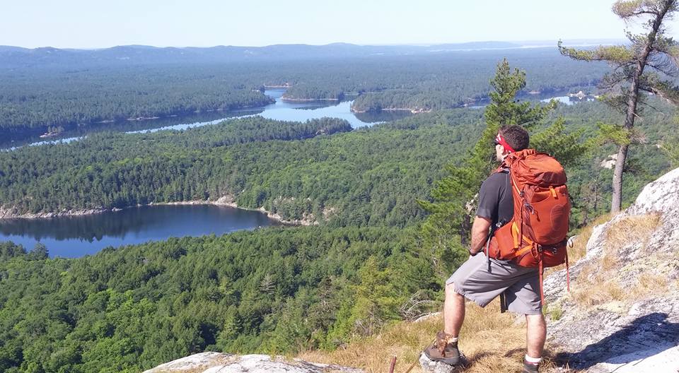
Section 4 (19-20km)
Known as Three Narrows, this 19-20km section is known for the lake that it traces. This is where you really begin to feel the trail becoming easier and it’s also a good place to spot moose or dear, and apparently a great fishing hole, although we never carried any pack rods with us!
Section 5 (14-16km)
Known as Baie Fine, This 14-16km section is known for its rolling hills and beautiful mixed wood forests. Hiking this section counter-clockwise you will notice that although it appears flat,
it is ever so gradually and ascent and seems to never quite end! In comparison to the rest of the trail though, it’s a breeze! Make sure you take the time to stop and check out Topaz Lake, a Caribbean blue lake that you have to see to believe.
What to Pack
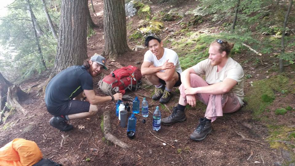
We hiked this trail from July 2nd – July 5th. The list is as follows:
Gear
- 65 Litre Rucksack
- UV Water Filter
- Rain Coat
- Pot set
- Mess Kit
- Quick-Dry Towel
- 2-Man Tent
- Thermorest
- Sleeping Bag (+7)
- Camera
- Water Bottles x2 (1L)
- Mid-High Hiking Boots
- Pants x1
- Shorts x1
- Gitch x4
- Wool Socks x4
- T-Shirt x2
- Sweater x1
Food
- Pasta 900g
- Frozen sauce x1
- Mountain house x4
- Trail Mix
- Granola Bar x8
- Beef Jerky/Nuggets
- Sunflower Seeds
- Mio Water Enhancer (Electrolyte)
- Chocolate Bars x2
- Vodka 28ounce (Goes great with water and lemon/lime Mio!)
Conclusion
Overall, for Ontario standards this is the best backpacking trail going. Lush forests, stunning white quartzite rock, and beautiful views coupled with a rewarding and difficult hike make this trail unforgettable. I’d recommend 7 days if you can spare the time, in order to fully appreciate every aspect of the trail and give your legs a bit of a rest.


I feel like I was looking at the views with you. Thank you for sharing
LikeLike
Any time!
LikeLike
Great post! I wish I saw this before I did my trip. Anyhow, I thought I’d share my data for those who are thinking about doing this (elevation profile included): https://drive.google.com/open?id=0B-d2DE8htpgIOGZwNDViZmVRWjQ
LikeLike
Awesome. Thanks for passing that along!
LikeLike
Wow thanks for the breakdown, really helpful. Did u reserve campsites there?
LikeLike
Looks so fun!
We’re doing in next week, unfortunately in 4 days but we’ll camp there the 4th night in H51 and we’ll camp a night before we head out so we’ll have full days. I have a question you might know: were there fire pits + grills at the site? We’re bringing a burner but were curious.
Thanks!
LikeLike
This was extremely helpful! Thank you. I’ll aim for 5 days… and swap the vodka for gin;)
-Ann
LikeLike
Apologies for the late reply! Hope the trip worked out for you!
LikeLike